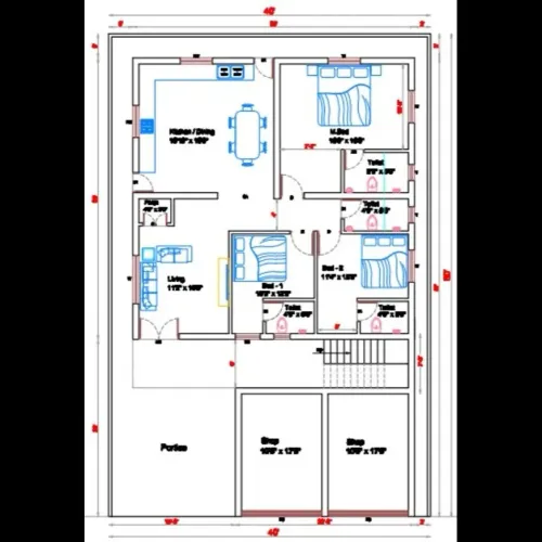
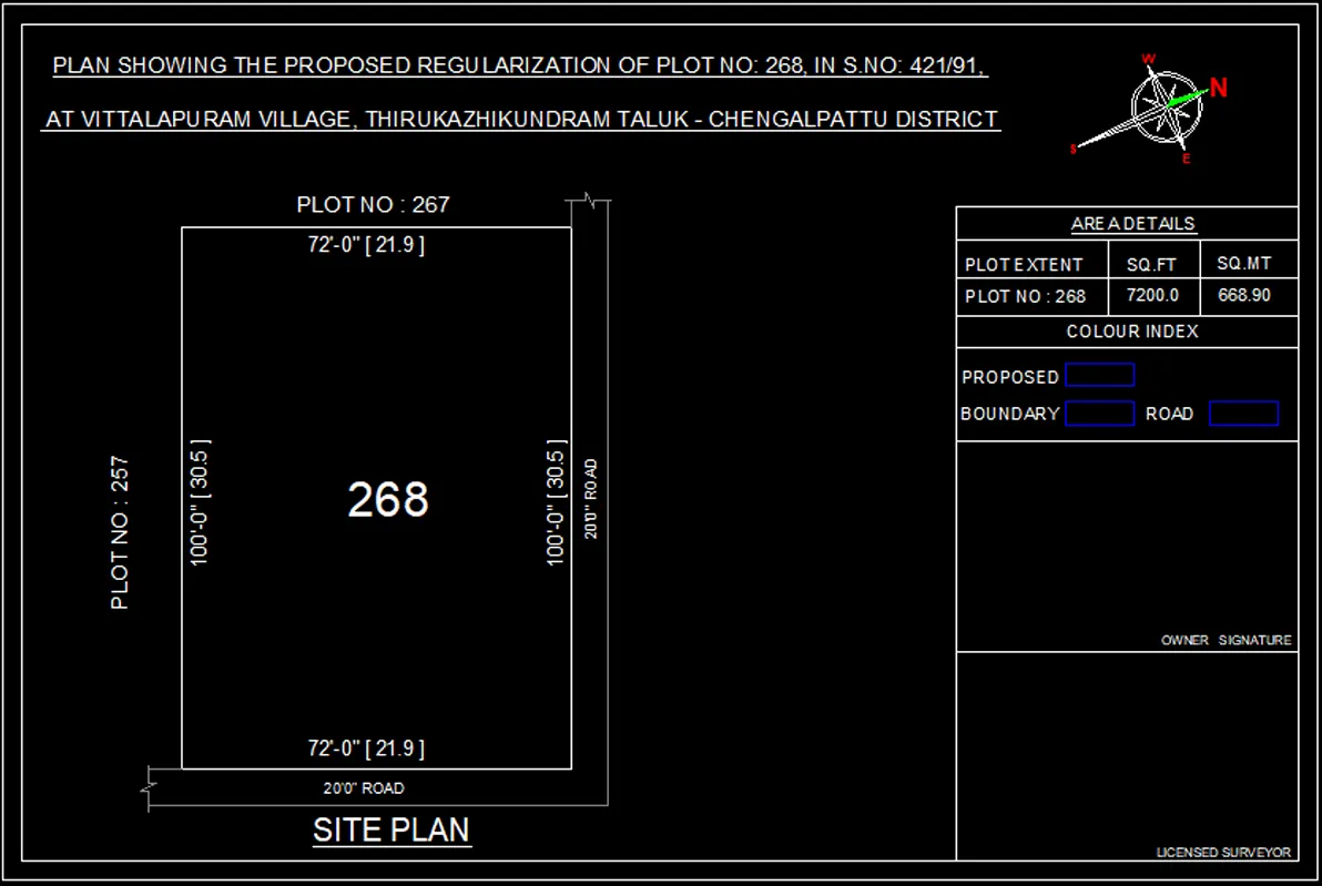
SUBDIVISION LAYOUT PART DETAILS : Here’s a detailed breakdown of the Subdivision Layout Part typically found in civil engineering, land development, or urban planning documents. This section outlines how land is divided and developed for residential, commercial, or mixed use.
Subdivision Layout Part – Details
1. General Description
- Project Name: [Subdivision Name]
- Location: [City, State/Country]
- Total Area: [Total area in acres or hectares]
- Type of Subdivision: Residential / Commercial / Mixed-use
- Zoning Classification: [E.g., R1, R2, etc.]
2. Plot Division and Lot Layout
- Number of Lots/Units: Total number of individual plots
- Lot Sizes: Range of lot sizes (e.g., 400 – 1,000 sq.m.)
- Lot Configuration: Rectangular, irregular, cul-de-sac, etc.
- Orientation: Lot orientation for optimal sunlight and ventilation
- Setback Requirements: Front, rear, and side yard setbacks
3. Road Network and Access
- Hierarchy of Roads:
- Main access roads
- Collector roads
- Local/internal streets
- Width of Roads: As per standards (e.g., 12m, 9m, 6m)
- Road Surfacing: Asphalt / Concrete
- Right of Way (ROW): Specified widths for public utilities and sidewalks
- Cul-de-sacs / Roundabouts: Placement and design details
4. Infrastructure and Utilities
- Water Supply System: Location of mains, tanks, and connections
- Sewage and Drainage: Gravity-based or pumped system; stormwater drains
- Electricity Supply: Underground/overhead lines, transformer locations
- Telecommunications: Ducting provisions for fiber/internet
- Street Lighting: Pole locations and type
5. Open Space and Amenities
- Parks and Green Spaces: Area and location
- Community Facilities: Clubhouse, schools, health centers (if any)
- Commercial Areas: Location and size of shops or centers
- Playgrounds/Sports Fields: If part of layout
6. Legal and Compliance Aspects
- Land Use Compliance: Zoning laws and regulations
- Environmental Clearance: Green buffer zones, water bodies
- Survey and Boundary Information: Coordinates, fencing
- Approval Status: From planning authorities
7. Phasing (If Applicable)
- Phase-wise Development: Timeline and boundaries of phases
- Utilities Rollout Plan: Per phase
8. Typical Drawing Inclusions
- Master Plan / Layout Plan
- Lotting Plan
- Contour/Topographic Plan
- Infrastructure Plans: Roads, drainage, water, sewer
- Landscape Plan
- Cross-sections and Profiles
Email : www.bechennai.com, Mobile no : 888 333 33 22.
Keywords