Dtcp Subdivison drawing :
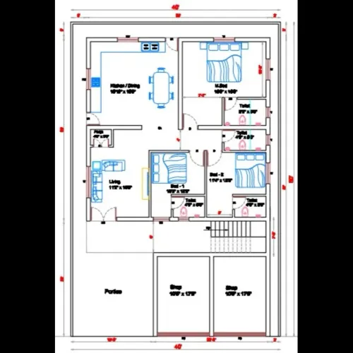
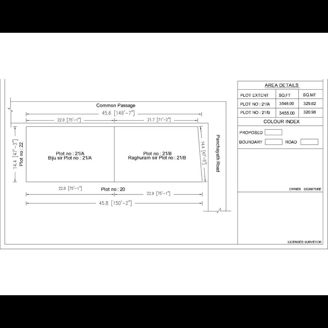
A DTCP Subdivision Drawing (or layout plan) is an official land division plan prepared to obtain DTCP approval for converting a large piece of land into individual residential or commercial plots.
It ensures that:
- Roads, drainage, and open spaces are properly planned,
- Each plot follows government regulations, and
- The development is legally recognized for registration and construction.
2. Purpose
- To convert parent land into approved plots (for sale or housing).
- To ensure planned urban development.
- To show all infrastructure details and dimensions as per DTCP norms.
3. Documents & Details Required
Before preparing a subdivision drawing, the following details are needed:
RequirementDescriptionSite DetailsSurvey number, village, taluk, districtTotal Land AreaIn square meters or acresOwnership DocumentPatta / Sale deed / Title deedExisting FeaturesRoads, trees, wells, drains, electricity poles, etc.Proposed PlotsNumber and size of each plotApproach RoadWidth and connection to public roadInfrastructure PlanWater line, drainage, streetlight locationsNorth Direction & ScaleMandatory in the drawing
4. Components in a DTCP Subdivision Drawing
ItemStandard (varies by state)Minimum Plot Size600 sq. ft (varies)Road Widths9 m (main road), 7.2 m (internal road), 6 m (cul-de-sac)Open Space (OSR)10% of total area reserved for park/community useDrainage LinesAlong both sides of roadsWater & Electricity LayoutMarked in drawingPlot NumberingSequential numbering with dimensionsBoundary DetailsParent survey boundary with coordinatesNorth Arrow & Scale BarTypically 1:500 or 1:1000 scale
5. Sample Subdivision Layout (Conceptual Description)
Legend Example:
- P = Plot
- R = Road
- OSR = Open Space Reservation
- N = North Direction
6. Approval Process (Simplified)
- Survey & Site Measurement
- → Done by a licensed surveyor using total station.
- Preparation of Layout Plan
- → By a DTCP-licensed planner or civil engineer.
- Submission to DTCP Office
- → Along with ownership and supporting documents.
- Scrutiny & Field Inspection
- → Officials verify the site and road connectivity.
- Approval & Issue of Layout Number
- → You receive the DTCP-Approved Layout Plan.
Email : www.bechennai.com, Mobile no : 888 333 33 22.
Keywords