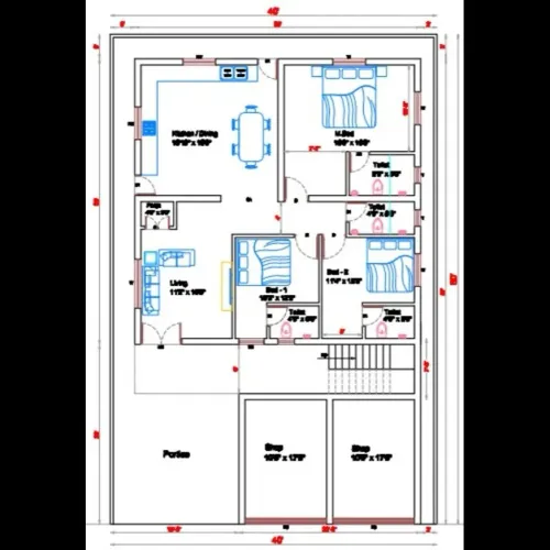
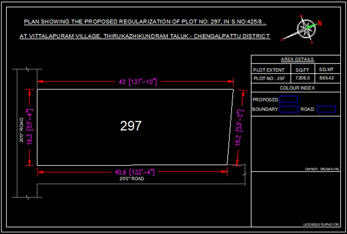
Subdivision Land Layout details :
1. Pre-Planning and Site Analysis
- Topography: Survey the land to understand elevation, slopes, and drainage.
- Soil Testing: Evaluate soil type and stability for construction feasibility.
- Environmental Constraints: Identify wetlands, flood zones, protected trees, or habitats.
- Legal Considerations: Zoning laws, land titles, easements, and setback requirements.
🔷 2. Design Elements of a Subdivision Layout
🏘️ Lot Layout
- Lot sizes (e.g., standard single-family 50'x100' or 60'x120').
- Orientation (to optimize sunlight, views, or privacy).
- Road frontage and access.
🛣️ Road Network
- Hierarchy (arterial roads, collector streets, cul-de-sacs).
- Road widths and turning radii for emergency/utility vehicles.
- Sidewalks, curbs, bike lanes, and crosswalks.
🌳 Open Space and Amenities
- Parks, playgrounds, green belts.
- Walking trails, ponds, or community gardens.
- Retention/detention ponds for stormwater.
🏗️ Infrastructure
- Utility easements (water, sewer, electricity, internet).
- Street lighting and signage.
- Stormwater management systems.
🔷 3. Regulatory and Approval Process
- Preliminary Plan: Initial concept submission for feedback.
- Subdivision Plat: Detailed map showing lots, roads, easements.
- Public Hearings: Community input or objections.
- Final Approval: From planning commission or city council.
🔷 4. Phasing and Development Strategy
- Phased Development: Breaking large projects into smaller, manageable stages.
- Market Analysis: Matching lot sizes and types to market demand.
- Costing and Budgeting: Roads, utilities, and landscaping.
🔷 5. Technology and Tools Used
- CAD Software: AutoCAD, Civil 3D for precision layout.
- GIS Mapping: For layering topography, zoning, and utility data.
- 3D Visualization: Helps with stakeholder presentations.
Email : www.bechennai.com, Mobile no : 888 333 33 22.
Keywords